Showing posts with label satellite image. Show all posts

Thursday, March 25, 2010

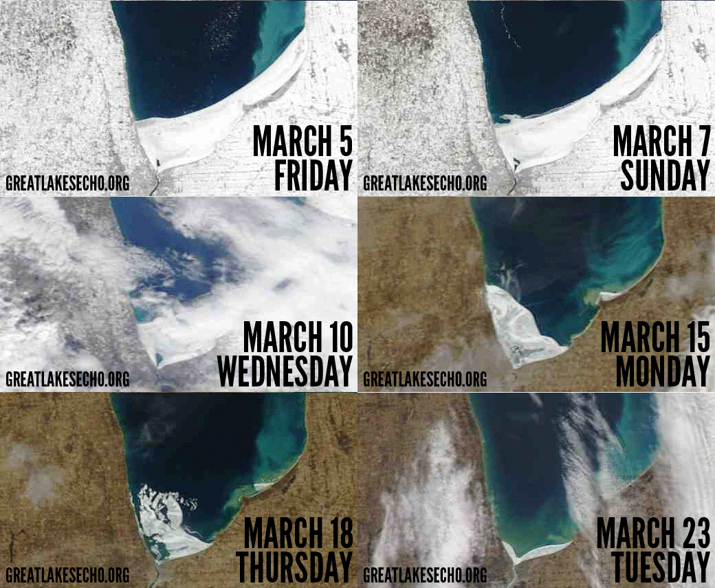
Animated Lake Huron ice breakup

Thank you to Jan Zboril for Emailing us this link to another great web site dedicated to the Great Lakes:  Great Lakes Echo

Here is a cool animation they created with the satellite images of Lake Huron ice:
Satellite watch: Animated Lake Huron ice breakup

Images processed and provided by UW-M Space Science and Engineering Center and animated by Jeff Gillies.

Tuesday, March 02, 2010

Today's Satellite Photo

Big thank you to Chuck Miller for staying on top of things....it's like having another blogger here for Harsen's Island News!!!!


Coast Guard has been busy!


River is open, AND they've opened up tracks in the lake!

Click on photo for larger image!